Project In Progress
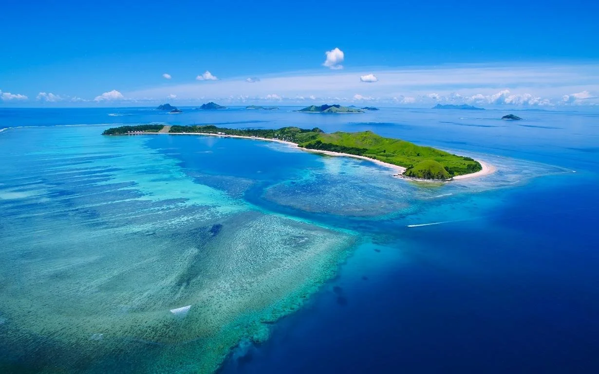
This project will explore the underwater terrain surrounding Fiji’s Mamanuca Islands using ArcGIS Pro and openly available bathymetric and geospatial data.
The goal is to build a detailed 3D representation of the seafloor and examine how depth, slope, reef platforms, channels, and surrounding underwater terrain define the physical structure of the island and reef environment.
Planned analysis will incorporate bathymetric elevation data, terrain modeling, remote sensing, and GIS techniques to produce 3D seafloor visualizations and maps of key underwater features.
As an avid scuba diver with a personal familiarity with Fiji, I chose the Mamanuca Islands to combine my interests in marine environments, geospatial technology, and environmental data.
Tools & Data: ArcGIS Pro · Python · GEBCO · Pacific Data Hub · Bathymetry · Remote Sensing
Status: In Progress, hope to be finished soon!